
Map of the gorge
Location
Vsetín, Vesník
Navigation in Mapy.cz
Navigation in Mapy Google
Time: 2:30h
Ascent: 1:15h
Descent: 1:15h
Difficulty
Elevation difference: 110m
Trail description
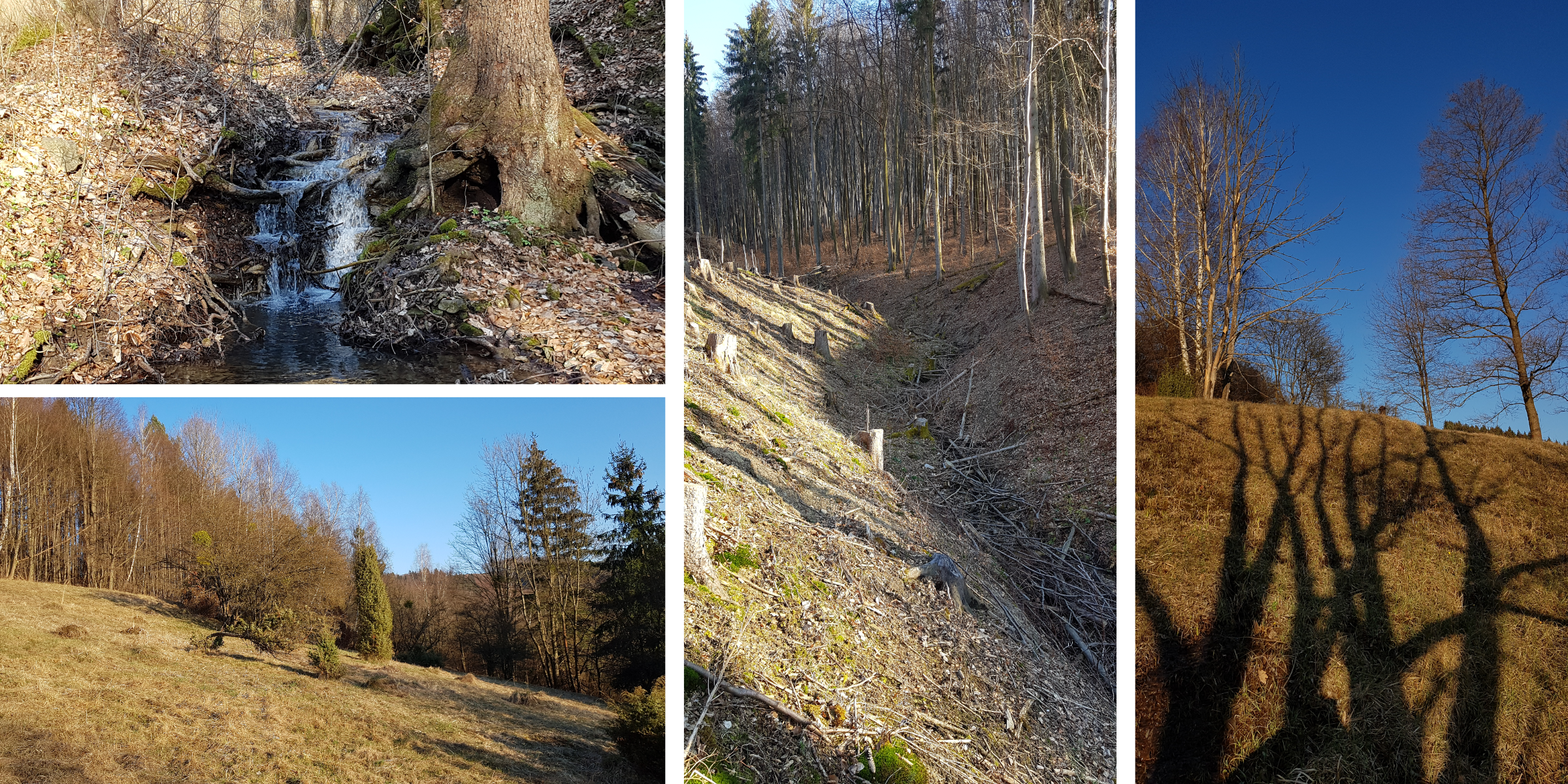
Parking is available behind the last house on the edge of the woods to the left and right of the road. At the beginning the stream meanders in a flat spruce cover. Then a portion of the stream goes through private land, so walk this passage through the meadow. Just beyond the houses you can rejoin the stream bed and after 100m you will see the protected limestone outcrop coming in from the left. Then follow the right arm of the stream to the spring. There you will come across a contour path that will lead you to a ridge with a statue of St. Hubertus.
The descending trail continues along the ridge and after 300 m it turns left to the Vesník Wetlands Nature Reserve, which I recommend visiting especially in spring. You return to the gorge of the descending stream along a fence back towards the ridge and then follow the stream to a forest path which will take you back to the starting point.
Recommendation
The ascending gorge is partly overgrown with thorny raspberry and blackberry bushes so you should choose your clothes for this trip well.