
Map of the gorge
Location
Nový Hrozenkov, Vranča
Navigation in Mapy.cz
Navigation in Mapy Google
Possible place of refreshment: Kohútka Mountain Chalet
Time: 3:00h
Ascent: 2:15h
Descent: 0:45h
Difficulty
Elevation difference: 340m
Trail description
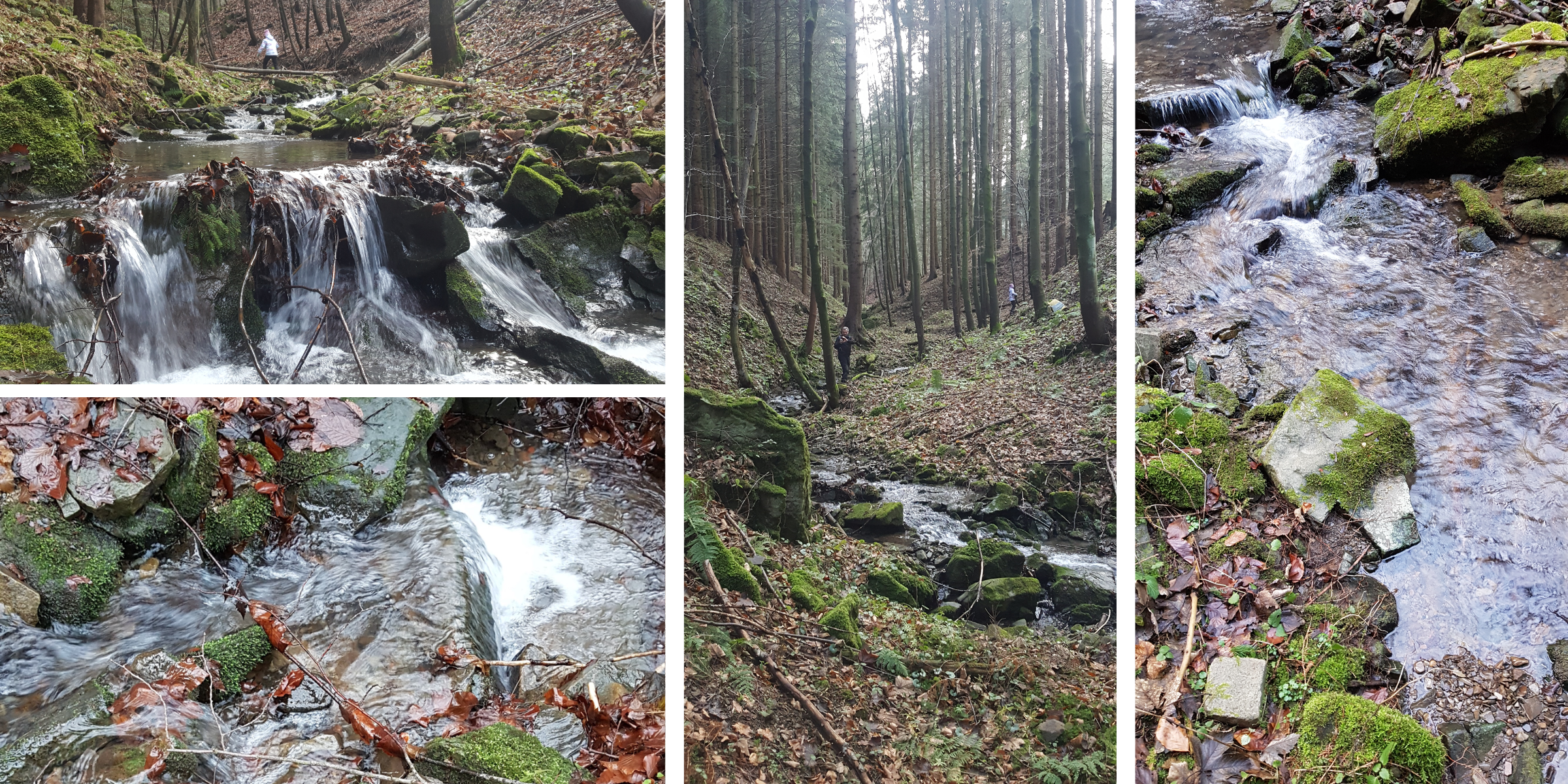
This trail begins in the village of Ráztoka whose name actually means “a gorge” in Czech. The best place to park your car is by the road behind the last house on the right and to enter the gorge in this very place. The gorge is beautiful and full of photogenic spots from its beginning. The route climbs steeply directly below the top of Kohútka Mountain.
The way back first goes through a small ski slope and then through a clearing to a lateral ridge. Along the ridge there is a pleasant forest path across the Planinská Kyčera peak and to the end of the forest, where it makes a long left-handed turn into the valley to the car park.