
Map of the gorge
Location
Dolní Bečva
Navigation in Mapy.cz
Navigation in Mapy Google
Time: 4:15h
Ascent: 2:00h
Descent: 2:15h
Difficulty
Elevation difference: 390m
Discovered for rokling.cz by Ondra Procházka.
Trail description
The route starts at the bus stop “Dolní Bečva, zotavovna”. From there, follow the path uphill for about 500m. When you come to a barrier bar, turn right just behind it and follow a path down to the start of the gorge.
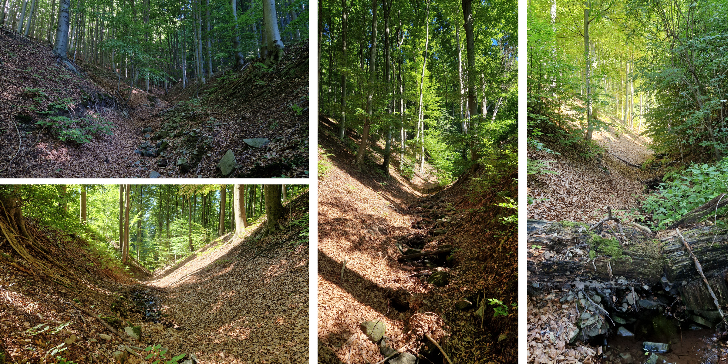
The gorge is wide for the first few metres, then a section with more vegetation starts. The further you progress, the more accessible the path becomes. The gorge is surrounded by deciduous trees. If it is windy, stop for a moment and listen to the sound of rustling leaves. You can watch the water in the stream gradually disappear. When you reach the end of the gorge, keep to the right and continue uphill.
The final 300m or so are the most challenging. Go slowly and look under your feet. Reach the path that is also the yellow hiking trail. Continue to a fork in the trail, from where you can continue to the nearby chalet Chata Mír (meaning “The Peace Chalet”) offering refreshments or accommodation. From the Chata Mír, return to the crossroads and continue along the yellow hiking trail.
On the way back, there is a natural well Černá hora (“Black Mountain”), its water can refresh you. When you arrive at the “Pavlovy Louky” signpost, follow the unmarked trail called “zvonice” (Bell Tower). You will find yourself at the bell tower, which is one of the oldest monuments in Dolní Bečva. The bell made in 1778 still rings here today, for example, when local residents die or are threatened by fire.
The descending route leads along an unmarked trail with magnificent views of Radhošt Mountain and the valley of Dolní Rozpité. You will pass a peak called “Štrček”, which is located at an altitude of 571 m above sea level. The descent ends at a picturesque house near the road. From here it is about 600m back to the bus stop.
Recommendation
I recommend using an insect repellent before going into this gorge.