
Map of the gorge
Location
Drnovice (Zlín region)
Navigation in Mapy.cz
Navigation in Mapy Google
Possible place of refreshment: Ploština Refreshment
Time: 3:30h
Ascent: 1:50h
Descent: 1:40h
Difficulty
Elevation difference: 270m
Discovered for rokling.cz by Průzkumníklára.
Trail description
From the bus stop “Drnovice, průmyslový areál” follow the asphalt road for about 1200m, after the houses turn left onto the forest road and enter the gorge after the “Lázy” dwelling.
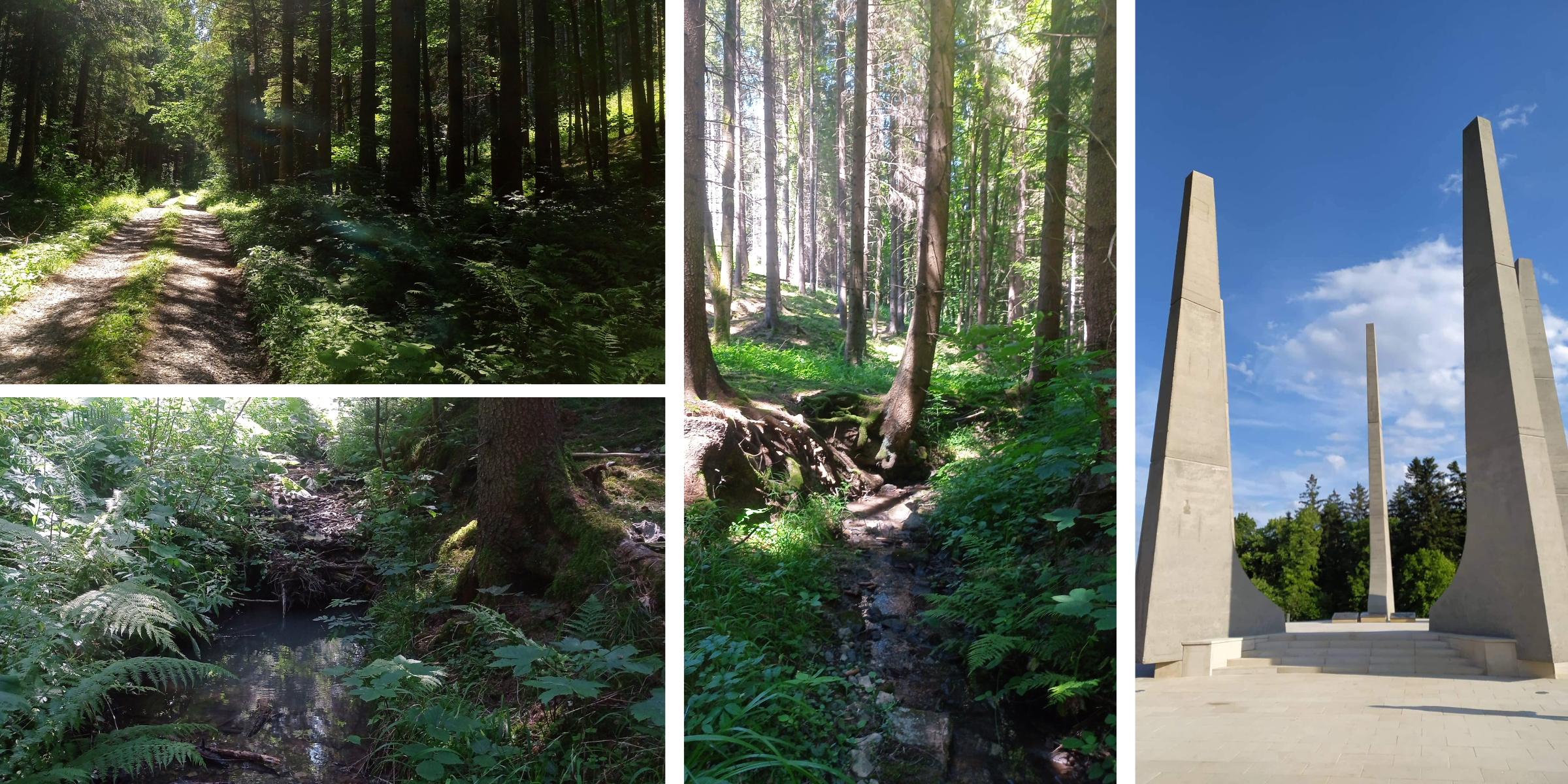
The gorge is very easy at the beginning. The banks of the Vlára stream, which forms the natural boundary of the Vizovice Hills Nature Reserve, are overgrown with horsetails and ferns, giving the whole gorge a fairy-tale feel. As the altitude increases, more obstacles in the form of fallen trees and logs come. The forest provides pleasant shade and coolness on hot days and the occasional pools also provide refreshment. The stream forms small meanders. The higher you get, the steeper the gorge becomes, and the banks become sharper.
The destination is the top of Bařinka hill, from here follow the green nature trail back to the starting point. On the way you can stop at the Ploština Monument. Ploština was a settlement near Drnovice. Its tragic fate is well known – a few days before the end of the Second World War, exactly on 19 April 1945, the local ten homesteads were burnt down by a German SS police commando. The Germans tortured and finally burned the men, women and children of Ploština. 24 people died.
Recommendation
On the way back, you can take a break at Ploština and refresh yourself with delicious sausages sold there, but the shop is open at the weekends only.