
Map of the gorge
Location
Time: 2:45h
Ascent: 1:45h
Descent: 1:00h
Difficulty
Elevation difference: 235m
Steepness 1/5
Obstacles 1/5
Length 2/5
Popis trasy
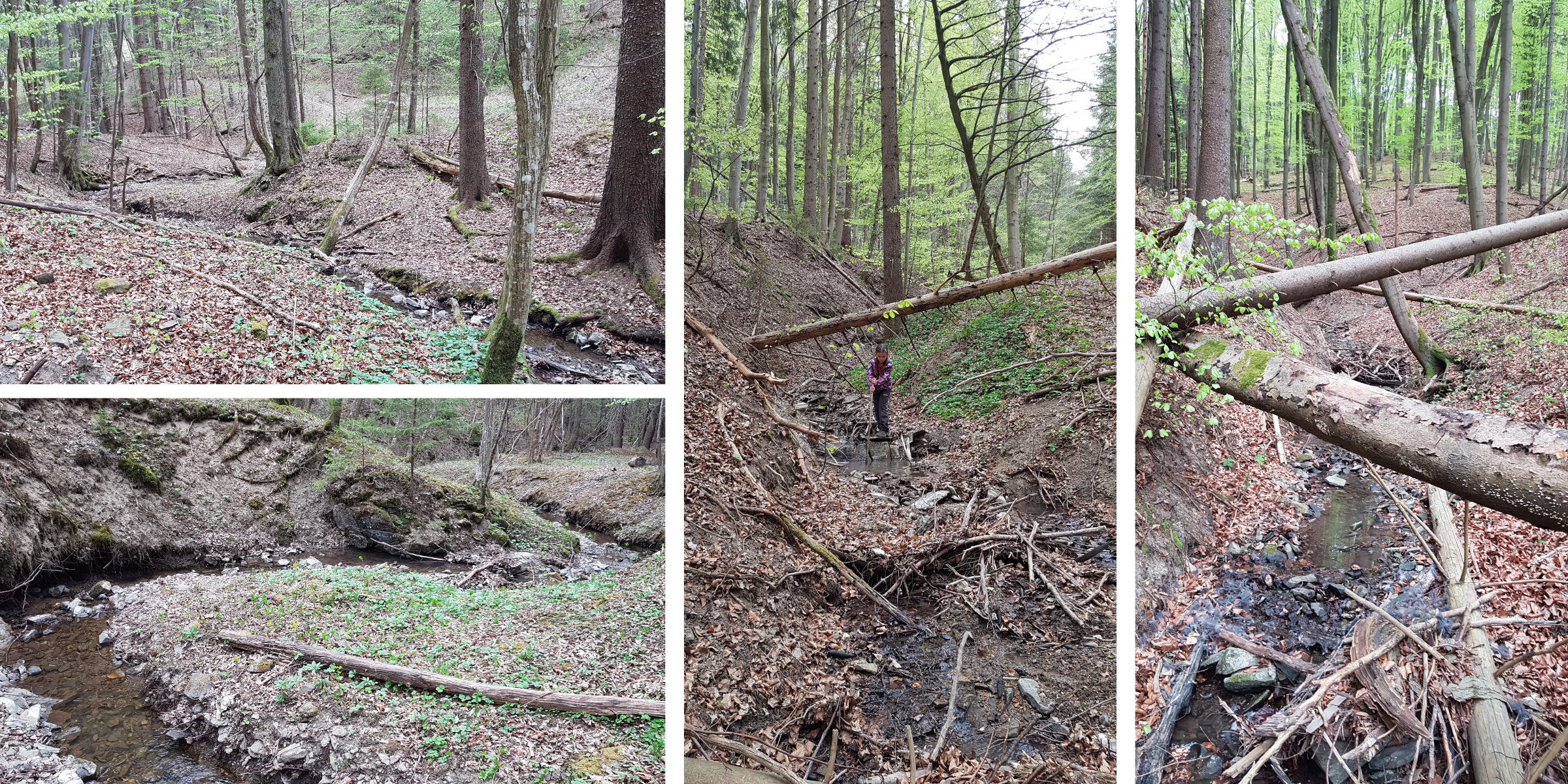
A good place to park your car is after crossing the tracks at a unpaved roads crossing. First walk down the road along the brook and after 300 metres, passing a pond on the right side, start walking along the brook itself. In the lower part of the Záružný brook there are interesting meanders creating beautiful views. The upper part of the brook leads directly under Jahodný hill. Being at 609 metres above sea level this hill is the right aim of the trail. After you reach the ridge the blue tourist trail will guide you to the peak.