
Map of the gorge
Location
Trnava, Papradná
Navigation in Mapy.cz
Navigation in Mapy Google
Time: 2:20h
Ascent: 1:15h
Descent: 1:05h
Difficulty
Elevation difference: 210m
Discovered for rokling.cz by Průzkumníklára.
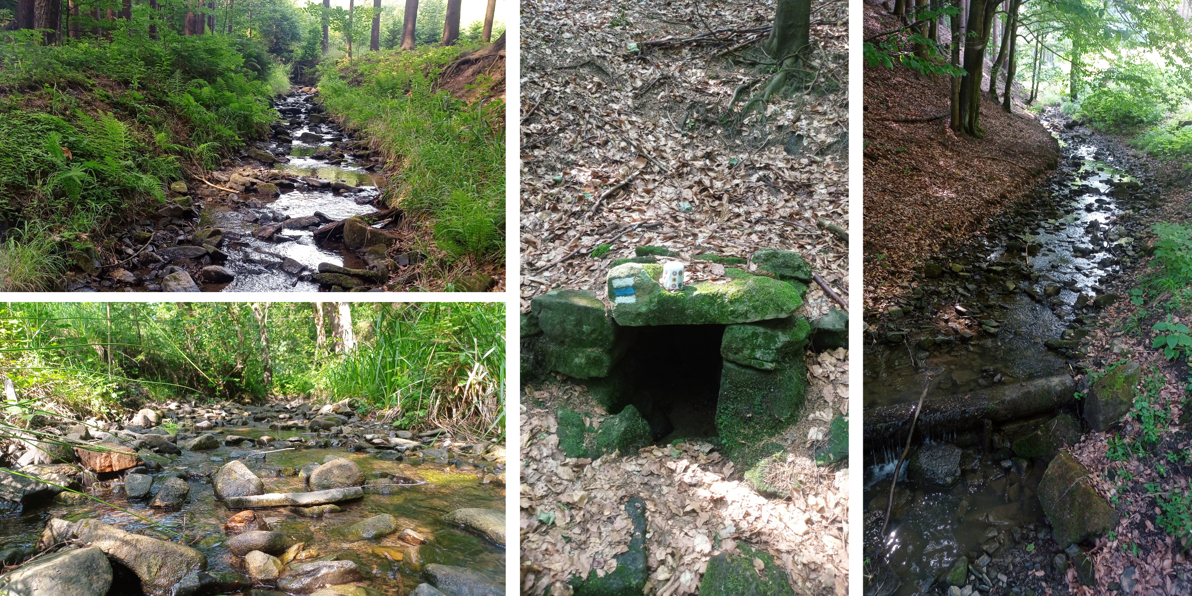
Trail description
The route starts at the bus stop “Trnava, Papradná”. Follow the asphalt road for about 2km, then by a little pond enter the streambed and go along it up to the spring. The gorge is simple, creating numerous pools and reservoirs.
Along the way you will find many feeders and if you are observant, you may spot deer or wild boar. The gorge forms a border between two nature reserves – the Vizovice Hills and the Hostýn Hills. At the feeder at the junction of three streams, take the middle channel. Along the way, you might meet some of the many species of amphibians that come out especially after rain or on wet days.
At the source of the Trnávka stream, head up to the Baťková fork and from there to Baťková peak. From there, follow the blue hiking trail and join a forest path back to the asphalt road, which will take you to the bus stop.