
Map of the gorge
Location
Time: 2:40h
Ascent: 1:10h
Descent: 1:30h
Difficulty
Elevation difference: 370m
Discovered for rokling.cz by Průzkumníklára.
Trail description
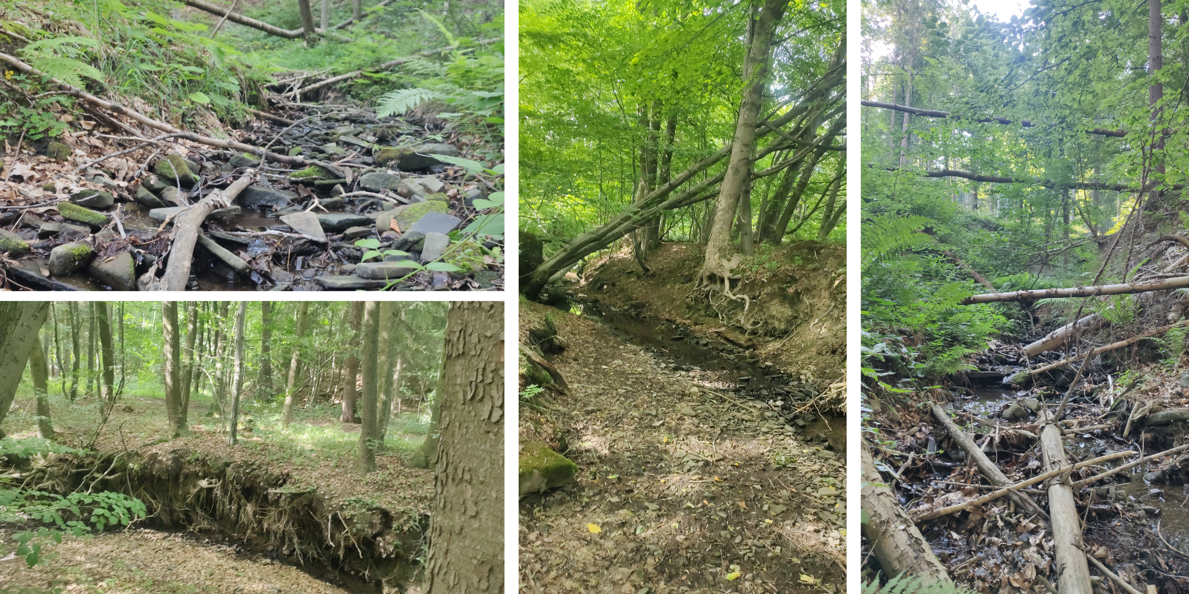
The route starts at the termina bus stop “Zašová, konečná”. From there, follow the asphalt road for about 1400m before you can enter the streambed. At first the stream goes past houses, and the path is not exactly attractive…
Continue up to the source of Kačinský stream. The gorge is gentle, but with higher elevation it gradually becomes steeper and steeper with more obstacles. Beware of logging and many fallen trees. In summer you can enjoy the meadow flowers that surround the gorge. The woods provide pleasant shade and at the beginning of the gorge there are pleasant meanders forming pools that will give you refreshment in the heat. You can explore the washed-out banks of the stream and see how the various rocks were deposited.
From the source of the Kačinský brook, follow the forest path for about 500m to the top of Oprchlice hill. You can climb a few more metres to a natural well called “Fountain at the Silver Cross”, which will refresh you, or head back along the red and then blue hiking trail.