
Map of the gorge
Location
Nový Hrozenkov, Brodská
Navigation in Mapy.cz
Navigation in Mapy Google
Time: 3:35h
Ascent: 2:00h
Descent: 1:35h
Difficulty
Elevation difference: 340m
Discovered for rokling.cz by Průzkumníklára.
Trail description
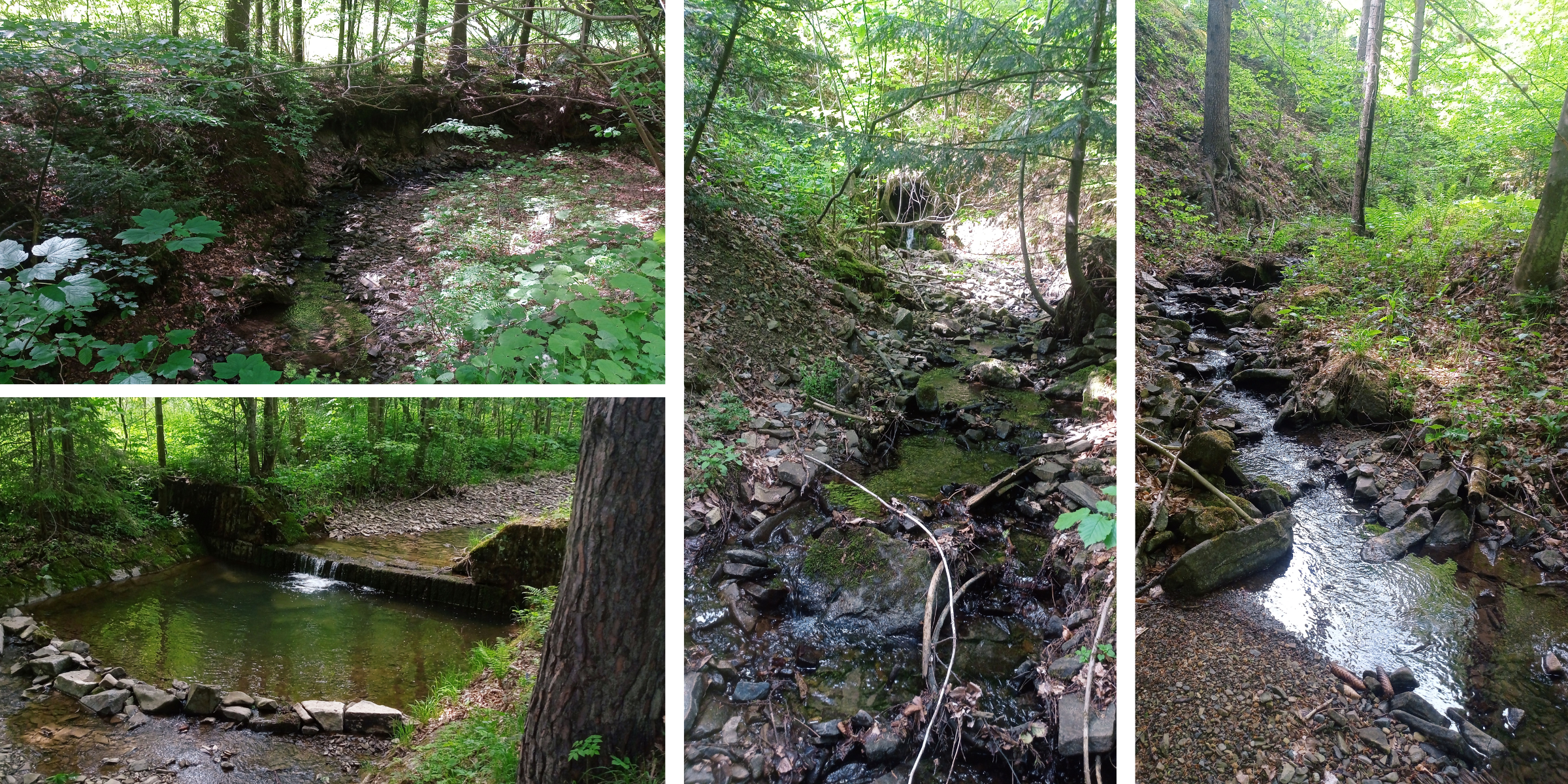
The route starts at the bus stop “Nový Hrozenkov – točna”, where you can park. Follow the asphalt road for about 1.7km to “Rozcestí Brodská” crossroads. Turn left and after about 300m you can enter the streambed. (About 900m from the Brodská crossroads there is the last possibility to park, further on is private land.)
The gorge is easy and not too difficult at first, the stream forms pools and little falls in places. Beware of logging. The higher you get, the more obstacles there are. The streambed narrows and burrows more into the landscape. The route ends at the source of the Hrubá Brodská stream. From here, go about 90m further to the Provázkovy chlévy (=Provázka’s cow barns in Czech) crossroads, where there is a memorial in honour of burnt partisans from 1944.
The descent route follows the yellow hiking trail from Provázkovy chlévy, through the Brodská crossroads back to the bus stop.
Recommendation
Instead of the descending route, you can use gorge No. 23 “Through Malá Brodská Gorge up to Tanečnice Mountain” and connect these two.
If you have more time, you can ascend from Provázkovy chlévy to the red hiking trail and continue to natural reserve Brodská, where you can find a protected area with a virgin forest-like vegetation. Occasionally a brown bear will wander in! 