
Map of the gorge
Location
Velké Karlovice, Tísňavy
Navigation in Mapy.cz
Navigation in Mapy Google
Time: 3:00h
Ascent: 1:30h
Descent: 1:30h
Difficulty
Elevation difference: 400m
Discovered for rokling.cz by Průzkumníklára.
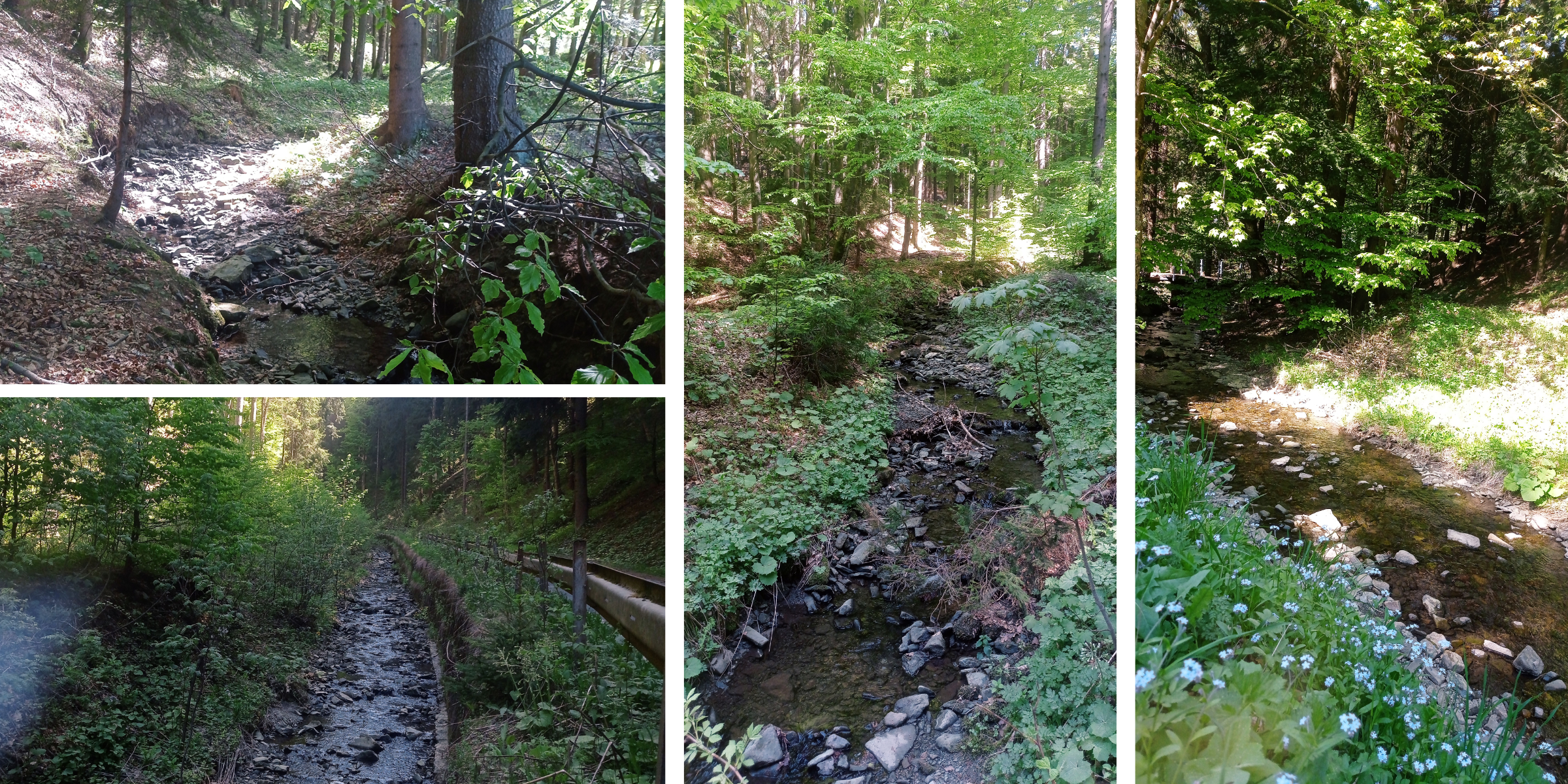
Trail description
The route starts at the bus stop “Velké Karlovice – Tísňavy, točna” where you can also park comfortably. You can enter the creek bed here already but beware of landslides and falling rocks. Continue along the streambed for about 750m and when you reach a fork, turn right.
Follow the streambed to the natural well in Potoky, which will refresh you with its delicious water on warmer days. The higher you get, the more the stream bed burrows into the landscape and washes out the banks. The creek forms pleasant bends, and several hunting high-seats can be seen along the way through the gorge. The route ends at the Stratenec Lookout Tower – you need to ascend there for about 150m from the source of the stream.
The descending route leads from the Stratenec Lookout Tower, through the rock formations Bukovina and Pod Stratencom to the “Příschlop saddle” crossroads – from there go along an asphalt road back to the bus stop.
Recommendation
The Stratenec Lookout Tower is worth climbing its stairs – the views from there are breath-taking.