
Map of the gorge
Location
Vsetín, Rokytnice
Navigation in Mapy.cz
Navigation in Mapy Google
Time: 2:00h
Ascent: 1:00h
Descent: 1:00h
Difficulty
Elevation difference: 180m
Discovered for rokling.cz by Průzkumníklára.
Trail description
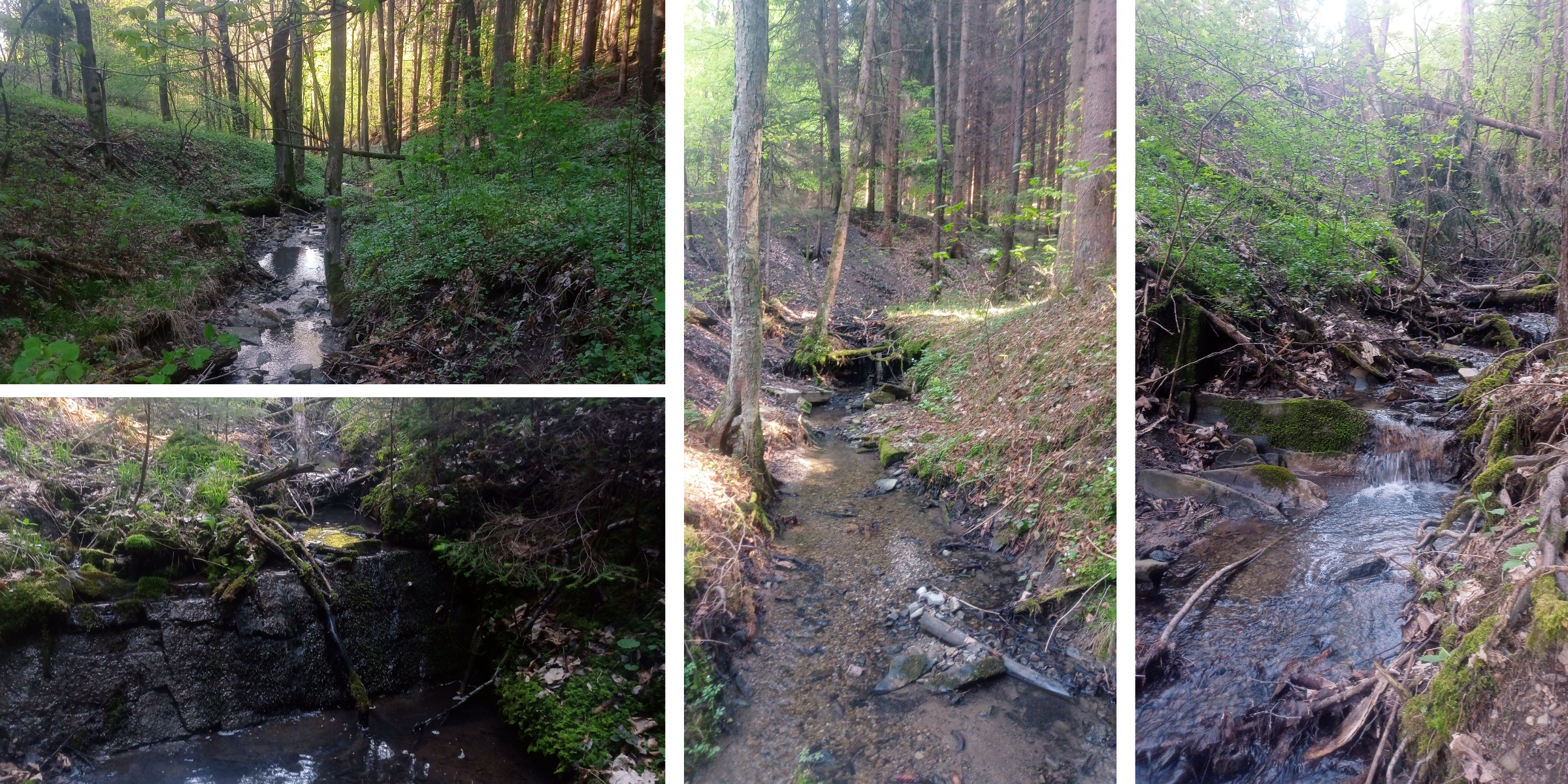
Start at the Rokytnice – Irisa bus stop, follow the asphalt road over the Rokytenka River for about 200 m (parking is possible here) and then continue for about 600m more before the asphalt road turns into a forest path. Follow it for another 400m until you pass the last houses; there you can enter the stream bed. Continue along the streambed up to the source of the Srní Brook. The gorge is very simple, full of flowers and beautiful small meanders that make up the stream. In places, beware of logging (the path through the stream is often difficult due to fallen trees and mud).
From the source of the stream, head steeply upwards until you reach a forest path, which is also a descent route.
Recommendation
If you have enough time, there is a nice descent alternative: along the blue hiking trail, which will take you straight to Vsetín, offering beautiful views.