
Map of the gorge
Location
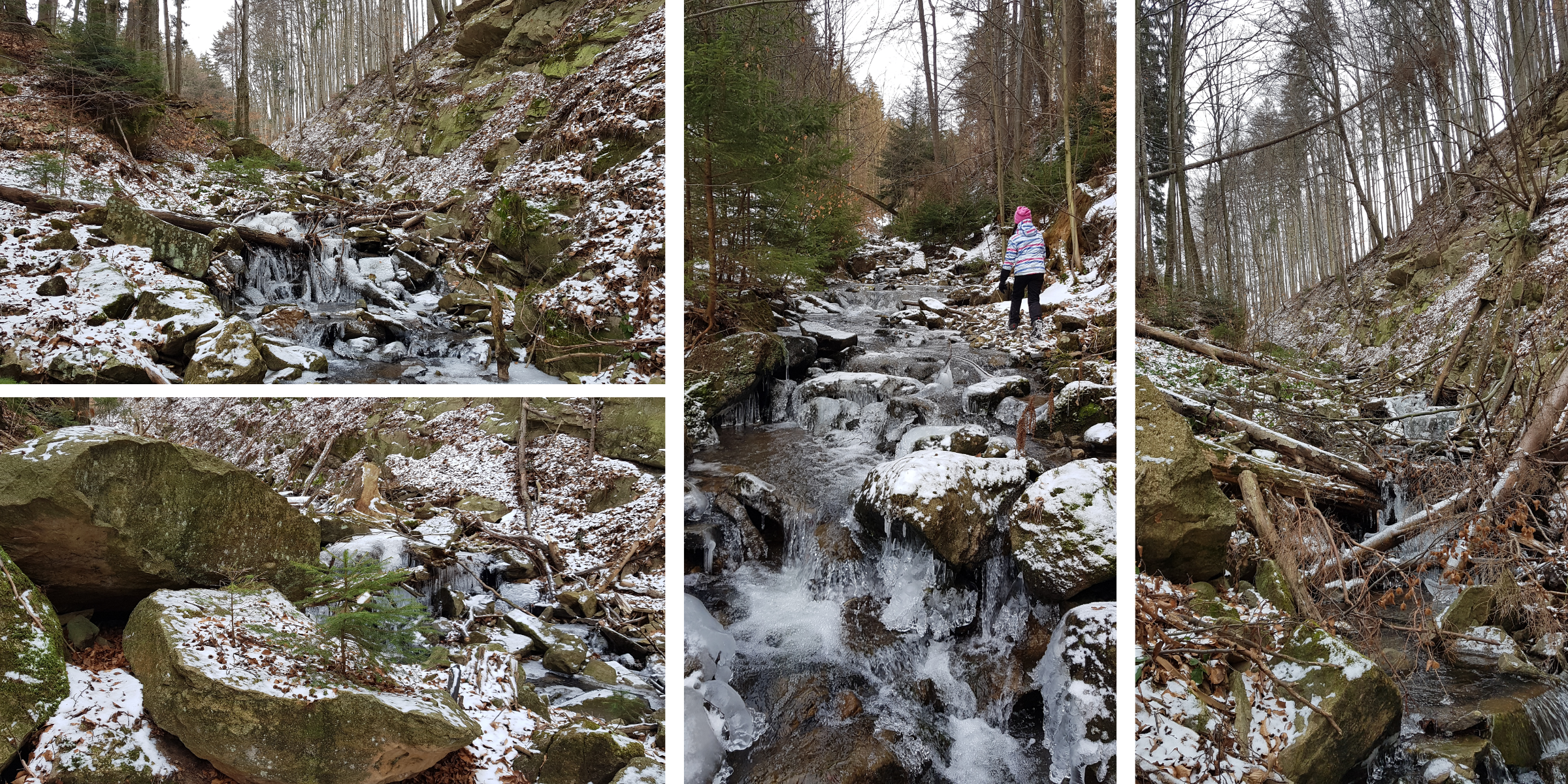
Malá Bystřice
Navigation in Mapy.cz
Navigation in Mapy Google
Time: 5:30h
Ascent: 4:00h
Descent: 1:30h
Difficulty
Elevation difference: 320m
Trail description
A good place to park is after turning off the main road just before a no entry sign on a large paved area on the right. Walk the first section along the road and enter the stream just before a bridge under which the stream crosses to the right-hand side of the road. From this point on, you are in for an extraordinary adventure on this beautiful and challenging route. It is varied gorge with some cool spots and a steep rocky gorge scarp.
The descending route follows the forest path to the left and later on the yellow hiking trail and nature trail to Cábské jezírko lake. You should definitely not miss this beautiful piece of Wallachia created by a huge landslide in the past. From the Cábské jezírko lake, follow the forest paths up the valley to the car park.
Recommendation
This trail is one of the longest, so you should bring enough food and drink. In the upper part of the gorge you can continue to the Cáb Mountain Restaurant and get refreshed there.