
Map of the gorge
Location
Velké Karlovice, Tísňavy
Navigation in Mapy.cz
Navigation in Mapy Google
Time: 2:55h
Ascent: 1:25h
Descent: 1:30h
Difficulty
Elevation difference: 415m
Discovered for rokling.cz by Průzkumníklára.
Trail description
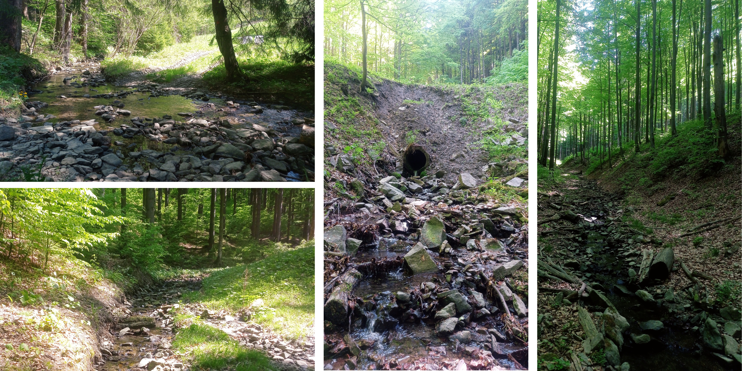
The route leads from the bus stop “Velké Karlovice – Tísňavy, točna” where you can also park your car. You can enter the creek bed here and continue along it for about 800m until you reach a fork, where you turn left.
The gorge is gentle at first, making pleasant curves and winding through mixed woodland which provides pleasant shade and coolness on warmer days. In spring, the banks are covered with yellow marsh-marigolds.
In the upper section of the gorge, the Tísňava Stream is becoming increasingly embedded in the landscape and undermines the banks of the stream. At the crossroads of the watercourses turn right and continue to the source of the stream. From the source continue for about 100m up to a ridge; the ridge will take you to the Stratenec Lookout Tower.
From the lookout tower continue along the ridge over the rock formations Bukovina and Pod Stratencom for about 800m and follow the green hiking trail down to the “Příschlop sedlo” crossroads – from there continue along the asphalt road back to the Tísňava bus stop.
Recommendation
Watch out for falling rocks and slumping slopes above the creek bed. It is also a good idea to wear good boots, the gorge is very steep and rocky towards the end.
On the way you can see the Rajmund’s Farm and all its animals or stop for a while at the Stratenec Lookout Tower.
It is also possible to connect this gorge with gorge No. 21 “Over the Slovak border up to Stratenec Mountain” and use it as a descent route or vice versa.